

Tõutsi Aerodrome (EETI): Technical Overview and Data
ICAO: EETI
Coordinates: 57°57′21″N 26°28′33″E
Runway: 700m (2,297ft). Grass
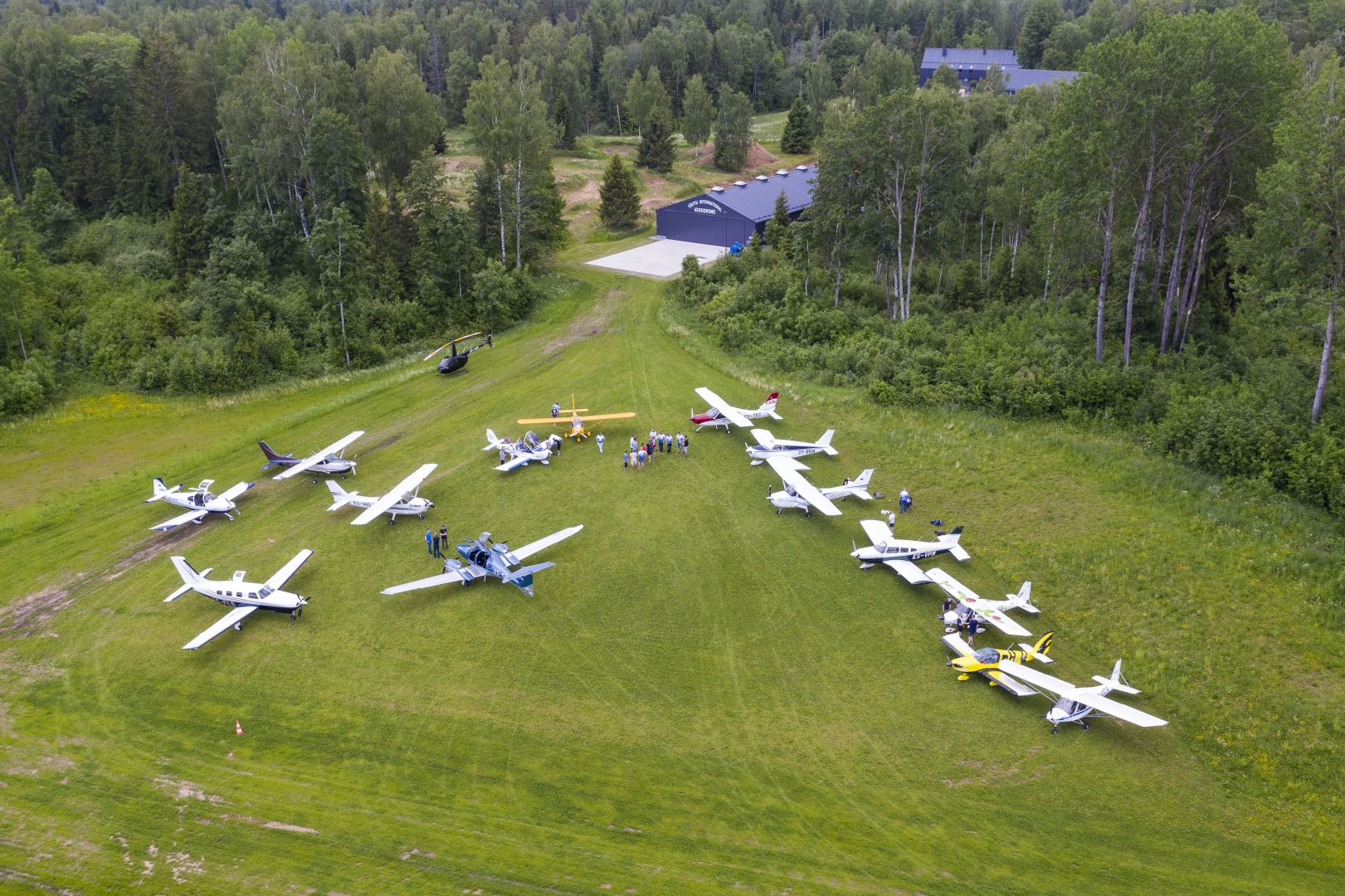
Tõutsi International Aerodrome is a private and welcoming grass airfield located in South Estonia, in the immediate vicinity of the Otepää highlands. It is a key destination for VFR pilots who appreciate scenic rolling landscapes and a direct connection with nature. Tõutsi aerodrome provides the perfect setting for flying, learning, and connecting with like-minded individuals.
Location and Navigation
For navigation purposes, the airfield is located 6.5 nautical miles (NM) south of Otepää. The elevation of the airfield is 414 feet above mean sea level. The magnetic variation (MAG VAR) is 9° E (as of 2020), with an annual change of +0.2°. A standard wind direction indicator (WDI) is available on-site to assist on approach.
Operational Conditions and Availability
Tõutsi Aerodrome is permitted for VFR traffic during daylight hours. It is a seasonal airfield, typically operational from April 15th to November 15th. The operational hours are available upon prior request or arrangement with the holder.
Administration and Contacts
The aerodrome is managed by Tõutsi Aeroclub
As this is a private airfield, it is mandatory to contact the operator before flight to verify runway conditions and obtain landing permission. The primary contact person is Lauri Laasik (+372 515 2874), providing assistance in both Estonian and English.
Additional info: